KPN is working hard to further expand its network – and the company has ambitious goals. “By the end of 2026, we want to have provided 80% of Dutch households with fiber, as well as a large proportion of business estates, via a Joint Venture (‘Glaspoort’),” says Marc Bos, Strategy & Planning at KPN’s FAN (Fixed Access Networks) division.
Marc is responsible for network development and design. “I use designs from Geostruct Infra Manager Suite to map the impact of all project components and calculate CAPEX. Using Geostruct, we determine where everything in the networks we are currently rolling out should be positioned, from POPs to splitters and cabling. Geostruct helps us answer questions such as: How much digging is required, and where? What cable lengths do we need? How many POPs are necessary? The High-Level Design immediately shows us where we might encounter challenges and we can make accurate calculations. Contractors can use plans from Geostruct to add further detail.”
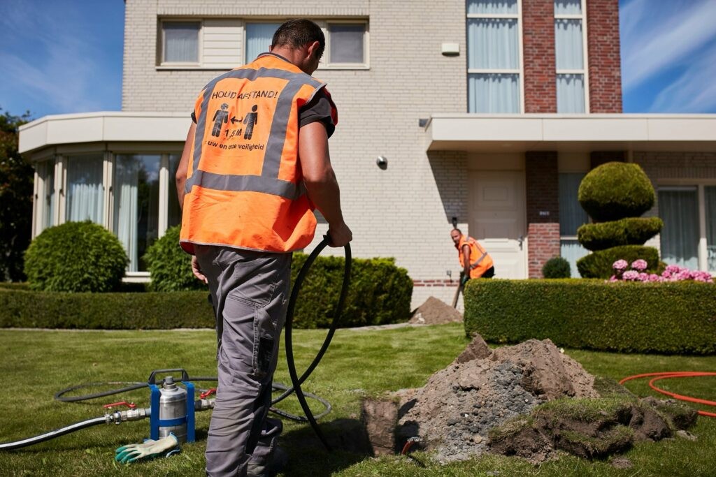
“A major challenge in developing networks is testing High-Level Designs and Low-Level Designs against reality. An engineer might unexpectedly come across things in the field that have not been included in the planning – buildings that are not featured on the cadastral map, for example. Based on the planning, we can come up with alternative routes that stay within budget.”
Everyone works in the same uniform environment
“An advantage of Geostruct Infra Manager is the fact that it has been widely used in the market for years. We ask our contractors to store all their drawings and modifications in Geostruct Cloud. Geostruct can review each contractor’s engineering, test their budgeting and assumptions, and make optimization proposals. By keeping everything in one environment, we prevent the sharing of different versions in different formats via different platforms. All involved parties work with exactly the same up-to-date information and everyone can find everything, at every layer. The ability to really take an in-depth look and see all details at every level is a huge benefit. Not all competitors’ applications offer this. Often, you need to connect multiple systems – something we prefer to avoid as much as possible!”
“Geostruct’s output is also indispensable when applying for work permits. Municipalities and councils want to know exactly where work will be carried out and where infrastructure elements are to be placed. With Geostruct you can demonstrate this in detail. Thanks to automation, we can determine where we can best place cables, while also minimizing inconvenience for local residents. This is also convenient for us: labor doesn’t come cheap and Geostruct helps us to plan and distribute work in a smart way, which helps manage costs.”
“There are so many different sources of information, and the infrastructure we have to take into account is constantly evolving. The automated updating of underlying data is a big plus. In the past, if we had to take factor in the geographical features of a certain area during design, we would have to work from photographs. Now, we can extract data from current databases.”
“Furthermore, the as built records are now accurately maintained. On the one hand, you have to try to ensure that everything is built exactly as it was planned, but at the same time you also have to carefully document any adaptations – which are inevitable. Ultimately, there should be no difference between the network as constructed and the resulting documentation.”
Looking at future expansion
“As soon as the network is built, all information is entered into the inventory system via a practical link, which makes management and later expansion much easier. That’s no unnecessary luxury. Consumers and professional users are demanding ever-faster network speeds for specific applications. For example, we’re already seeing ATMs that feature 4K cameras, which require considerable capacity. These kinds of applications are growing rapidly.”
“Making a profitable business case for FttH rollouts in rural areas remains challenging, but Geostruct can help us determine how to do that in a smart, cost-effective way. For example, by suggesting ways of reducing the number of POP locations and the amount of equipment without affecting customers. There is a great deal to be gained in the ‘branching’ of the FttH network. While the contractor is rolling out the network in a particular area, we can already look further ahead, to the adjacent regions. This allows us to anticipate possible challenges during later expansion. In doing so, we also take redundancy into consideration – we prefer not to connect tens of thousands of households to one single point. Geostruct can also help us with this.”
“We have been using Geostruct for many years. Contact with Dieter Gerritsen is very pleasant: we have short lines of communication and can discuss and solve challenges fast. You can instantly get a customized solution for every challenge – not all providers offer that. I imagine the AI capabilities and suggestions Geostruct offers will become increasingly important in the future. To quickly and dynamically adapt business plans, for example. I can also imagine that Geostruct will be playing a key role in the energy transition – after all, you can link all types of data to a network design, to optimize power or heat grids!”